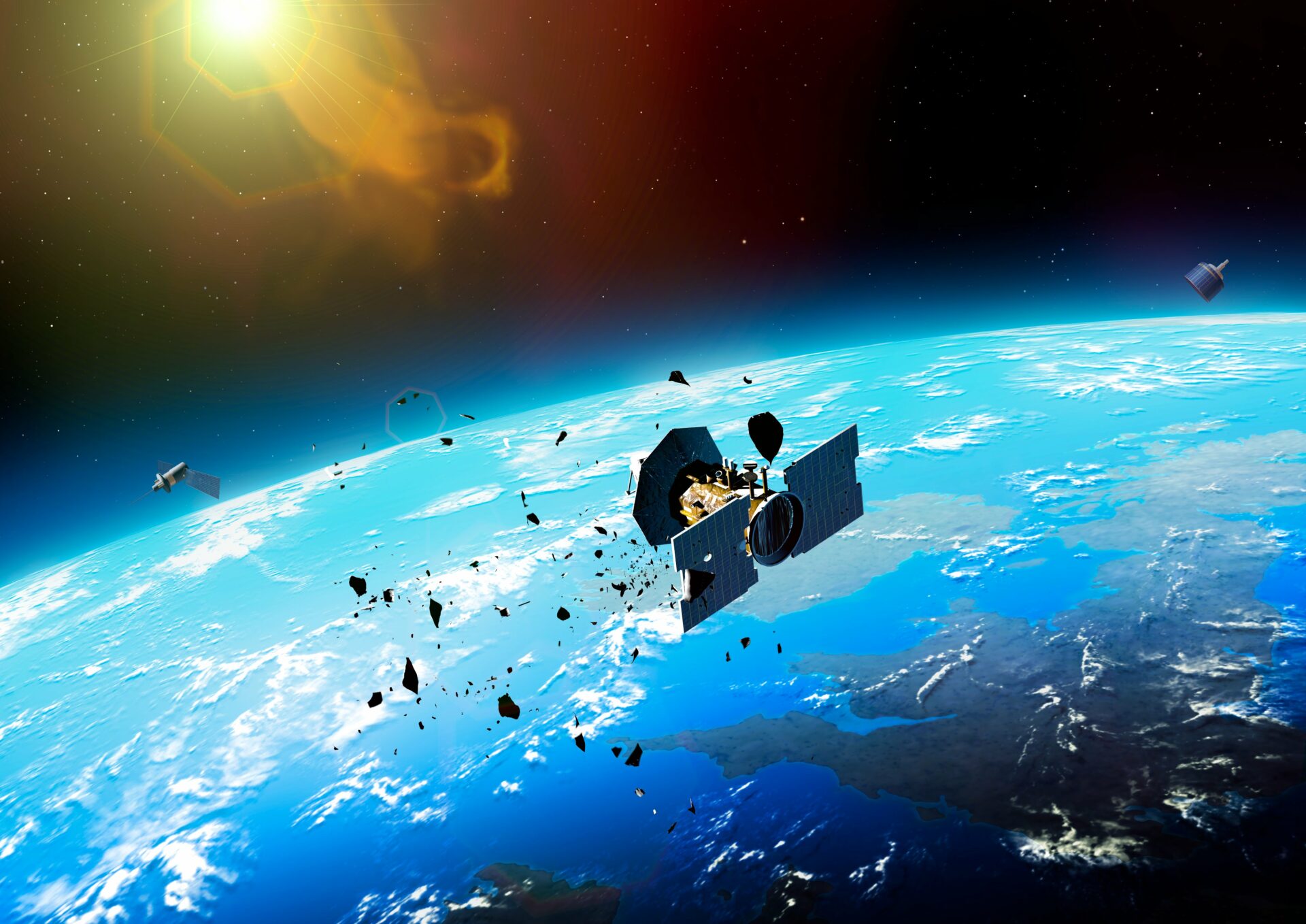
Protecting Earth's Orbital Space
Our advanced satellite tracking and collision prevention system helps maintain the sustainability of Earth's orbital environment.
Our Vision & Mission
Vision
To foster a sustainable and debris-free space environment by leveraging innovative technologies for satellite tracking and collision prediction, ensuring the safety and longevity of space operations for future generations.
Mission
To ensure space sustainability by providing a cutting-edge platform for predicting and preventing satellite collisions, reducing space debris, and empowering global stakeholders with real-time insights and interactive tools for responsible orbital management.
Our Key Features
Real-Time Tracking
Monitor satellite positions with millisecond precision.
Collision Prediction
Advanced algorithms predict potential satellite collisions.
Space Sustainability
Helping preserve our orbital environment for future generations.
About Our Platform
Space Sustainability
With the increasing number of satellites in orbit, the risk of collisions and space debris has grown significantly. This application is designed to support the global effort to ensure space sustainability through advanced prediction and monitoring systems.
Predicting potential satellite collisions up to 7 days in advance, giving stakeholders enough time to take preventive measures.
Contributing to the reduction of space debris, which can pose a threat to operational satellites and future space missions.
Encouraging responsible satellite operations by providing accurate collision warnings and data visualization.
Technologies and Frameworks
Python Models
Custom algorithms for processing satellite trajectories
ArcGIS API
Detailed geospatial visualization of satellite orbits
satellite-js
Real-time tracking using TLE data conversion
Bootstrap & jQuery
Responsive design and interactive features
Interactive Visualization
Real-Time Orbit Tracking
Track satellites in their exact positions using data derived from TLEs, providing accurate and up-to-date location information.
Collision Hotspot Identification
Visualize areas in space with a higher likelihood of collisions, making it easy to identify and monitor risky zones.
Customizable Simulations
Adjust timelines to view past, current, and future satellite trajectories for comprehensive analysis of potential collision events.
Geospatial Mapping
Interactive map interface with detailed overlays showing projected paths and possible intersection points of satellites.
User-Friendly Interface
Responsive Design
Seamless operation across all devices
Clear Navigation
Intuitive layout for quick access
Interactive Controls
Easy-to-use simulation tools
Fast Performance
Efficient processing of complex data
User Guide
Welcome to Satellite Collision Prediction Tool
Powered by Lynx, your interactive platform for tracking satellites and preventing orbital collisions. Below is a guide to help you navigate and use the application effectively.
Tracking Satellites
- • Click on any satellite in the 3D view to access detailed information about its name, orbital parameters, and trajectory.
- • Use the Preset dropdown menu to select specific satellite groups, and the selected satellites will appear in red for easy identification.
Customizing Satellite Selection
Filter by Country
- • Our application includes a Country Filter for selecting satellites by country of origin.
- • Build Custom Selections by combining filters like orbital altitude and type.
- • Reset Selection: Click Presets > Reset All to clear all filters.
Viewing Satellite Information
- • Click on satellites for detailed information panels.
- • View future trajectories for up to 7 days.
- • Access additional information through trusted source links.
Collision Prediction Insights
- • Highlighted alerts for potential collisions within 7 days.
- • Interactive timeline slider for real-time collision scenarios.
Understanding Orbital Objects
- • Visual distinction between operational satellites and debris.
- • Up-to-date ephemeris data with noted atmospheric variations.
Tips and Troubleshooting
- • Use the latest browser version for best experience.
- • Contact support through the Contact Us page for assistance.
Satellite collision Overview
Understanding Satellite Collision Risks
Watch comprehensive video explaining the challenges of satellite tracking, the growing risks of orbital debris, and our innovative approaches to maintaining space sustainability.
Collision History
| Date | Satellites Involved | Collision Type | Risk Level |
|---|---|---|---|
| Feb 10, 2009 | Iridium 33 & Cosmos 2251 | Direct Collision | High Risk |
| Jan 22, 2020 | SpaceX Starlink & ESA Satellite | Near Miss | Medium Risk |
| Nov 16, 2021 | OneWeb & Russian Satellite | Potential Interference | Low Risk |
| Jul 05, 2023 | Communication Satellites | Orbital Proximity Alert | Medium Risk |
Collision Risk Visualization
Imminent Collision Risk
Potential Interference
Minimal Risk
Latest News & Research
Research Breakthrough
Innovative machine learning techniques for improved satellite trajectory prediction.
Read MoreOrbital Debris Mitigation
New strategies for reducing space debris and protecting satellite infrastructure.
Read MoreUpcoming Conference
International symposium on space sustainability and satellite collision prevention.
View DetailsRecent Analysis
ISRO
ISRO carried out 23 collision avoidance manoeuvres (CAM) in 2023 to protect its satellites from potential collisions. It received approximately 137,565 close approach alerts from the US Space Command. Among these, 3,033 cases involved satellites passing within 1 km of each other. The growing presence of mega constellations, space tourism, and extended human activities in space has heightened the risk of collisions.
Learn More